The Political Identity of School Districts
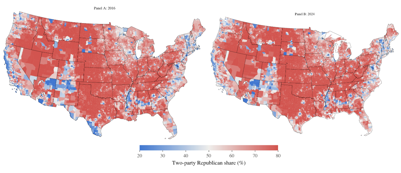
School districts are political geographies composed of voters. Unfortunately, we don’t count voters at the school district level, and precincts don’t map cleanly onto district boundaries.
In the past, researchers have attempted to use county-level votes to understand the partisanship of districts, but we know that neighboring school districts can have vastly different political identities.
Along with Dr. Cameron Arnzen, I have used satellite maps from the folks at MRLC to precisely assign voters to school districts. We rely on the good work of the VEST Institute at the University of Florida and the New York Times public precinct files as valid counts of voters, and a method called dasymetric interpolation to leverage the presence of developed land area across the United States for the 2016, 2020, and 2024 elections. You can find and access our full data via the Harvard Dataverse. You can read about our partisanship measures in EdWorkingPapers.